AMKVO AB
Easier and more sustainable mapping of mineral resources using drones
The first tests with drones for geophysical mapping have now been carried out within the EU project Smart Exploration. The surveys were made at Blötberget outside Ludvika and the results look very promising. Surveys with the drone system can save time, money and the environment.
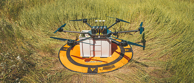
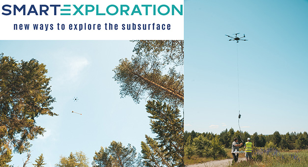
Since 2017, SGU has participated in the EU project Smart Exploration, which aims to develop techniques to map and model mineral resources in greater depth and in a sustainable way. The project has gathered 27 partners, including research institutes, universities, mining companies, technology companies and geological surveys, who work together to develop smart solutions to find mineral resources in both brown- and green-field areas. Methods and techniques have been actively tested in six different locations across Europe — in Sweden, Finland, Portugal, Greece and Kosovo. One of SGU's contributions to Smart Exploration is, in collaboration with Uppsala University and AMKVO AB, to develop two geophysical measurement systems that can be used with smaller unmanned aerial vehicles, so-called drones.
Last week, SGU and AMKVO AB conducted intensive tests with both measurement systems. The measurements were carried out at Blötberget outside of Ludvika and covered an area of about 1.1x1.8 km with a line spacing of 100 m. The preliminary results from the measurements look very promising and are comparable to SGU's airborne data collected in the same area during the summer of 2016.
Results of the measurement are presented in form of maps and 3D models imaging variation of the magnetic and electrical properties of the ground down to a couple kilometers depth. The results can be used for mapping bedrock geology, mineral resources, soil thickness, groundwater and contaminated soils. Surveys with the drone system are in many cases more environmentally friendly, logistically simpler and more economically viable when mapping smaller areas, compared to corresponding measurements carried out on the ground.
SGU plans to carry out further tests with the drone systems during the autumn 2020.
Read more about the project Smart Exploration

Photo: AMKVO AB
Last reviewed 2020-07-06
