Wells
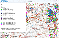
In the map viewer "Wells" there is information about the location of individual wells. There is also information about depth, soil depth, feed pipe length, dimensions, water capacity, water levels and the function of the well.
Here you will find SGU's map viewer with information about Sweden's groundwater resources. For example, you can find data on wells and test stations to monitor changes in groundwater levels and groundwater chemistry. For a complete collection please visit the Swedish map viewer.

In the map viewer "Wells" there is information about the location of individual wells. There is also information about depth, soil depth, feed pipe length, dimensions, water capacity, water levels and the function of the well.

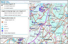
The map viewer "Groundwater Reservoir" contains information about the distribution and abstraction possibilities of larger groundwater reservoirs. There is also information on the direction of flow of groundwater, groundwater dividers, surface water contacts, river basins, low-permeable layers on top of reservoirs, sub-areas and mapping methods.

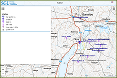
The map viewer "Springs" contains information about natural groundwater outflows, and aims to present information on, among other things, location, flow, geological environment and to some extent also water quality.