
EGDI
The European Geological Data Infrastructure (EGDI) is a service of EuroGeoSurveys (EGS). It provides access to European and national geological datasets and services of the geological surveys of Europe. EGDI is a central element in EGS's ambition to establish a geological service for Europe.
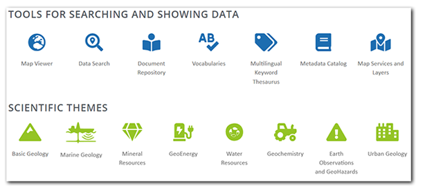
EGDI gives access to more than 800 map layers as well as a large number of documents (reports, images, spreadsheets,etc.). There is also a database for 3D geological models. The layers can be shown on maps and all the information can be searched in a free text search system. A number of scientific terms are documented in a vocabulary and there is also a multilingual keyword thesaurus which is used in the search system and to find layers in a connected metadata catalogue.
Last reviewed 2023-06-07