
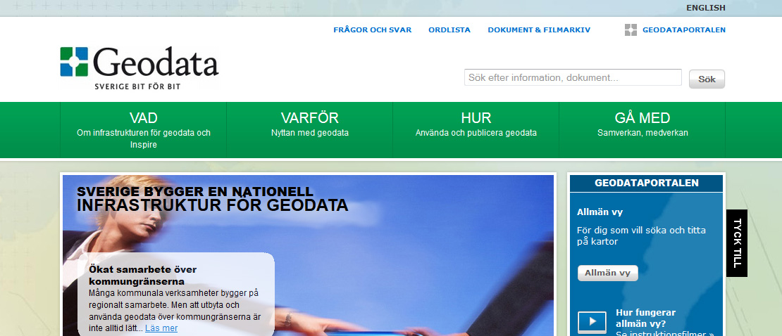
The Geodata portal
The Geodata portal provides the opportunity to search for and evaluate geographical data (geodata) from many different sources.
The geodata portal is a common entrance to geodata and services in Sweden, it also constitutes Sweden's connection and contribution to the European geodata portal, INSPIRE Geoportal (new window) . The geodata portal is managed by Lantmäteriet in its role as geodata coordinator.
The portal contains metadata, ie information that describes the content, availability and quality of data sets and services. Metadata helps you understand if data is what you are looking for and want to use. Via the Geodata portal, you can easily access many organizations' services and geodata that are physically stored locally at various data providers.
You can use the Geodata Portal to:
- search for and evaluate geographic data sources
- view details of all detected data sources and information on how to access them directly, in a mapping tool,
- look at the data and map resources you found
- create, upload and manage metadata for geodata and services produced in your organization.
Last reviewed 2020-12-02